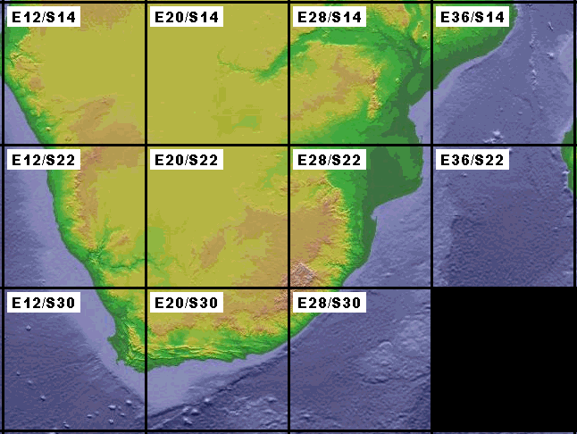
Aeronautical Raster maps for Southern Africa in MGL MapMaker2 format.
Based on current compilation of June 2013. With permission by the Chief directorate: National GEO-Spatial information.
Click on the individual tiles below to download the map for that region. Each region spans 8 x 8 degrees.
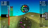
These maps use the VFR 1:500.000 charts for zoom levels 1,2 and 3. The IFR 1:1000.000 charts are used for zoom levels 4 and 5.
The map files have filenames like “E028S22.MAP”. Copy the files to an SD card (Root folder).
Insert into the EFIS, select “Install Raster maps”. Alternatively you can also use the file manager to copy the files into the “Maps” folder of the EFIS (restart required after that).
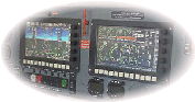
Note: The MapMaker 2 format cannot be used with Enigma and Odyssey/Voyager G1 systems. For all other systems please ensure that your firmware has been updated to support this map format.
Odyssey/Voyager G2, iEFIS G2 and iEFIS G3 firmware updates are released in June 2014. Please check the relevant Firmware update pages on this website.